

About the Project
Rethink Maguire (formerly known as the Maguire Street Corridor Project), is the City of Warrensburg’s process to transform the Maguire Street corridor which connects U.S. 50 to the University of Central Missouri and the larger community. Rethink Maguire is engaging city residents, businesses and stakeholders in crafting a vision for the improvements needed to upgrade this corridor to improve the quality of life and enhance safety for residents and visitors through modern, resilient infrastructure.
The project corridor includes Maguire Street from Cooper Boulevard north of the U.S. 50 interchange to Broad Street in Warrensburg, Missouri. The Maguire Street corridor is the highest-volume thoroughfare in the city with nearly 18,000 trips per day.
What’s Happening Now

Maguire Street Corridor (MSC) Overlay District
The City of Warrensburg invites community members to attend a public meeting to learn about the proposed Maguire Street Corridor (MSC) Overlay District and share feedback on potential zoning ordinance changes that may guide future development along the Maguire Street corridor as part of Rethink Maguire.
The proposed MSC Overlay District would supplement existing zoning regulations and be applied as properties along the Maguire Street corridor are redeveloped. Listening to the public input receive early in the Rethink Maguire project, the overlay district is intended to help support a cohesive visual identity, encourage quality site design, and strengthen the long term character of this key community corridor. The recent construction of street improvements is just one component of the corridor. Rethinking how development occurs in the corridor is the other critical component to reshaping both the resident and visitor experience of Maguire Street.

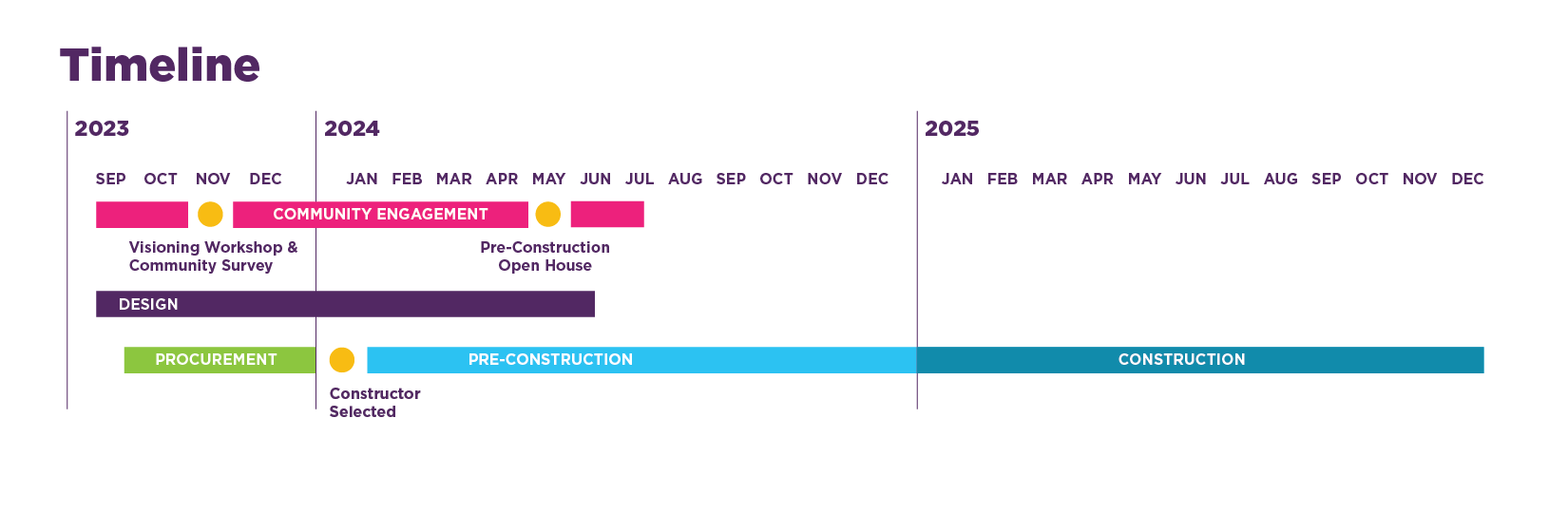
Construction Map
Welcome to the interactive map for Rethink Maguire Construction!
This map displays the construction work happening along the Maguire Street corridor, including anticipated timing and impacts. Click on the information icons to learn more.
This map will be updated as construction progresses.
For the best user experience, view this map on a computer. This map may not be compatible with all mobile devices.
Let’s
Connect!

Newsletter Sign Up
Sign up below for news and updates from the project team. We are looking forward to working with you!